
Blog › 28 August 2026
Community spots — put your beach on the map
Friday 28 August 2026 — London Kitesurfers — by Alan Jay
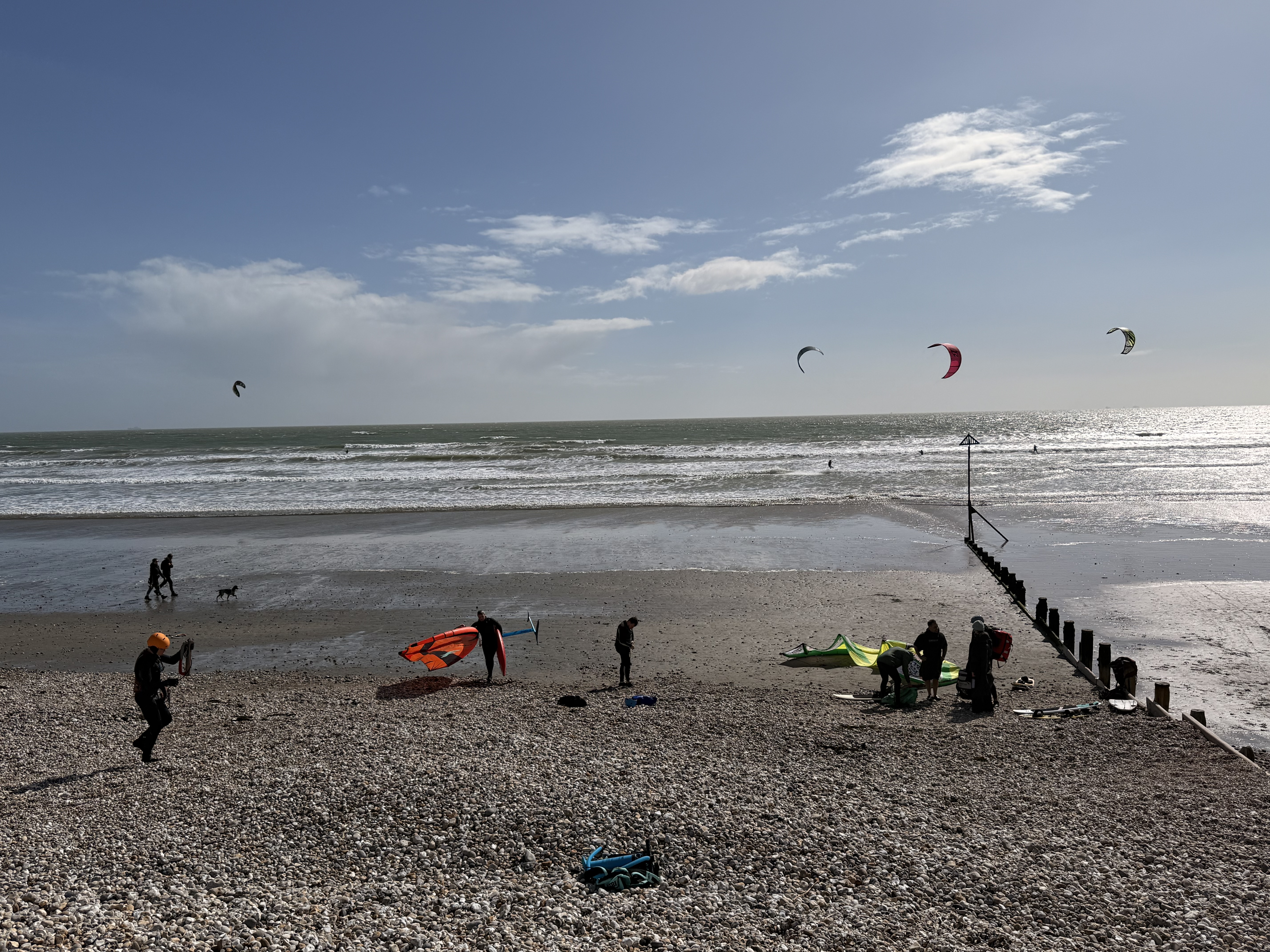
Everyone has one. The lagoon behind the caravan park. The stretch of estuary that only works on a spring low. The beach in Greece you rode for a week last summer and can never find again on a forecast site.
None of them are LKSA club spots and none of them ever will be. You still want the wind and the tide for them. Version 2 shipped community spots yesterday; here is the walkthrough.
What they are not
Club spots — the beaches on our spots page — go through the LKSA verdict engine. That is where the colour-coded pins, the “green from 06:05” tide windows and the “I’m going” counts come from.
Community spots deliberately get none of it: no verdict, no kiteability window, no colour-coded verdict, because we have no basis for one. What you get is the description somebody wrote, plus the raw data. Nor can you confuse the two on the map — community pins are coloured by ownership: yellow for your private spots, blue for shared ones, green for one from someone else.
Three steps
Tap + and the wizard runs Location, Name, Details — “three quick steps”, as its intro card puts it: drop the pin (“we’ll suggest nearby spots you already have”), give it a name (“we auto-fill one from the map”), then add details, a Windguru forecast, and Private or Shared.
Both parentheses matter. The name step reverse-geocodes the pin, so most spots arrive named and in a region; the location step looks 5 km around it and offers what it finds under “Already nearby — edit instead?”. Put the pin on the launch: the models are gridded and a mile matters on an estuary.
A fourth way in skips all of it. The guided session builder clusters your logged GPS sessions into places you have actually ridden and steps you through each — “Spot 2 of 5 · 7 sessions here” — with a movable pin, a suggested name and the same duplicate check.
Private or Shared — the decision that matters
This is the switch people miss, and it changes everything downstream:
Shared — “Added to the community collection when you save. We’ll collect wind and tide data for this spot from public sources and make it available to you and everyone else.”
Private — “Kept on your devices only. No wind or tide data is collected from public sources for private spots.”
So a private spot is genuinely private: nothing uploaded, and no forecast at all. It is a bookmark. Want the seven-day chart? The spot has to be Shared.
New spots start Shared, because a shared map is the point — but the first time you save one the app stops you, “Thanks for adding a community spot!”, and offers “Return & edit or change the share settings”.
Fill details with AI
Filling in a spot you ride weekly takes two minutes. Filling in one you rode once, abroad, three summers ago is where people give up. So the research is built in, under the heading Fill details with AI, identical in the wizard and the editor.
The hand-off
The primary path goes out to whatever AI app you already use. Three numbered steps, not buried in a menu:
- “Pick an AI below — the research prompt opens there, already filled in (and copied, in case you need to paste it).”
- “It replies with a JSON code block — tap the block’s Copy button.”
- “Come back here and tap Paste reply — the fields fill themselves.”
The buttons are ChatGPT, Claude and Perplexity, the three whose web apps reliably take a pre-filled prompt. It goes to your clipboard first, so if the prefill fails you just paste; Copy prompt and Share prompt… reach anything else.
The prompt is built from your draft — name, area, coordinates, directions already ticked — and opens:
> Write concise, practical kitesurfing notes for this spot (3–6 short sentences). […] Cover: the best wind directions, typical conditions and hazards (tide, sandbars, rocks, obstacles, currents), suitable skill level, and any launch/parking tips. If you are not sure about a specific, say so rather than inventing it.
It then asks for one JSON object in a fenced code block — summary, directions as compass tokens, skill level, hazards, best tide, water type — plus three that are genuinely clever.
windguru_spot_id— the closest Windguru spot with a free public forecast, plus a nearer PRO-only one if there is one. The app warns that “AI-found spot numbers can be wrong”; the embed carries the spot’s name, so check it.local_wind_info— the live-wind stations and webcams locals actually use, and how the wind behaves against the forecast here: thermal boost, wind shadow, gust factor.model_weights— how well each of the five global models matches this spot, estimated from rider reports, feeding the LKSA weighted-average line on its chart. Without spot-specific evidence it returns nothing and the chart falls back to equal weights.
Come back, tap Paste reply, and the fields fill. The app says which way it will go before you commit — “JSON detected — this will fill the spot’s fields” or “No JSON found — this will be added to notes only” — then reports what it did: “filled: notes, wind directions, tide, water, Windguru spot ID. Review and Save.” On a Mac it finds the reply on your clipboard by itself.
The import merges by default: empty fields fill, new text lands below your notes, anything you already wrote wins. “Overwrite with AI data” is there if you prefer, and even then your local info is appended rather than wiped. Everything stays editable.
The on-device draft
Underneath sits a quieter option: “Or: instant draft on this device (private, offline — general knowledge only).”
On a device with Apple Intelligence this runs Apple’s own model: no keys, no account, no network, nothing leaving the phone — and no browsing either, so it works purely from what it already knows. Right for a well-known beach, thin for an unnamed sandbar. Everything it writes is prefixed “AI draft (please verify): ” and dropped into the notes.
Then check its work
Both paths produce a draft, not a fact.
Check anything safety-shaped. An AI describes hazards it has read about. It does not know about the groyne they built last winter, or the seasonal seal colony. Cross-check hazards, restrictions and access against a local school, a club, or whoever took you there. If you cannot verify it, write “reported” rather than stating it as fact.
And cut the padding. The person reading at 06:30 in a car park wants lines, not paragraphs.
Used properly this is a minute’s work on a spot you would never otherwise have written up. Used lazily it produces a confident, plausible description that is wrong — worse than no spot at all.
What comes back
A shared spot joins the collection pipeline. Collection runs twice a day, so a spot added at lunchtime usually fills in that evening, worst case about twelve hours. Until then the app says so rather than drawing an empty chart.
Seven days of wind, six models — UKMO, ECMWF, GFS, ICON, Météo-France and MET Norway, hourly, in knots, with the LKSA weighted line across them.
Tides wherever the model reaches. US waters use published NOAA predictions; elsewhere, astronomical predictions relative to mean sea level — indicative, not chart datum, and no surge — labelled as such.
Recent readings nearby from airfield stations and buoys, each with distance, bearing and reading age — a spread, not one number. Stations 15–25 km out are marked “far”, and METAR stations warn that they sit inland and under-read a sea breeze. Observations on a schedule, not a live ticker.
Windguru, embedded, given an id.
Two separate opt-ins
Sharing a spot and listing a spot are different decisions.
Share as a link hands you a URL of the form https://lksa.uk/us/{id}. On an iPhone, iPad or Mac with the app it imports straight in; anywhere else it shows a page with the name and a link to the app. The copy on their device is theirs: it arrives Private and separate, so their edits never touch your original. And be clear what a link-only spot is — unlisted, not private. The link is the key, like a shared photo album.
List as a community spot (Public) is the second tick, putting the spot in the directory every LKSA user can browse and import. Its name and location become public, and a person casts an eye over every new one.
Stop sharing removes the spot, its versions and its data, and the directory catches up within about five minutes. A revoke token in your keychain authorises it, so in the app it looks after itself — publish from a browser and that code is your only copy.
Links expire after a year, and any accepted edit resets the clock. Editing your local copy does not update the shared one: stop sharing and share again for a fresh link.
Spots get better when other people touch them
Anyone with the app can improve a shared spot, on rules that make helping easy and vandalism hard.
Adding applies immediately. New wind directions and tags merge in; empty fields — the tide note nobody wrote, the missing water type — fill straight away.
Overwriting is held. Changing something the author already wrote is queued for them rather than replacing their words, as is moving the pin more than 200 metres, or text carrying links or handles. You see both halves: “Applied: …” and “Queued for review (not lost): …”.
No field can be blanked, and the name least of all.
Everything is reversible. Every spot carries a version and an “added by” credit — “Version 4 — improved by the community” — and the creator gets a history of who changed what, with Restore on any version.
If the same beach lands on the map twice, merge them: directions and tags unioned, empty fields filled from the other copy, differing notes appended rather than discarded. The survivor keeps its name and pin, and old links follow.
House rules worth knowing
- Photos never leave your device. Attach them to your own copy freely; the shared copy publishes with the photo list forced empty.
- Contact details get moved, not deleted. Links, emails, phone numbers and @handles in the notes are lifted into a labelled commercial-information field, or into Local info when purely informational — nothing you wrote is destroyed. Say if you represent the business, and that gets checked. The “added by” credit is cleaned the same way.
- The limits are real numbers. Ten spots published per hour from the app, three per day from a browser, six edit suggestions per hour. Enough for a genuine spot-adding session; not enough to flood the map.
- The app is where you add them. The community layer is on by default in the app, off in the web app until you turn it on under Layers. A browser can read everything, but a browser publish always goes for review first — the app can prove it is a real copy on a real device and a browser tab cannot.
Go on then
The map is more useful the more of it exists. Ride somewhere that has never appeared on a forecast site? Five minutes and put it there. Spot on the map missing its parking notes? Thirty seconds and fix it.
Questions, or a spot behaving oddly — the usual WhatsApp channels.
See you on the beach.
Weather data by Open-Meteo.com, with model data from the Met Office, ECMWF, NOAA, DWD, Météo-France and MET Norway. Tide predictions outside US waters are derived from EOT20 (Hart-Davis et al., 2021). Forecasts and readings are guidance — conditions on the water are yours to judge.